Catégories

Déjà vus

  • Turkish Waters & Cyprus Pilot
    Turkish...

    Edition 2013; Les dernieres informations,...>>

  • Ile d'ouessant to Raz de Sein
    Ile...

    C36 Ile d'Ouessant to Raz de SeinScale:...>>

  • Greek Waters Pilot
    Greek...

    Seul guide couvrant la zone allant des...>>

  • Charlie\'s Charts of Costa Rica
    Charlie's...

    This guide provides detailed drawings of...>>

  • Pilot Chart - Pacifique Nord
    Pilot Chart...

    Les pilots charts sont vendus par cahiers...>>

Suivez nous sur Facebook et Instagram

Rechercher

Newsletter

ANWB Map of Inland Waterways of the Netherlands

ANWB Map of Inland Waterways of the Netherlands
  • carte fluviale des Pays Bas
  • Auteur : Imray
  • RM0008

  • Isbn : 9789018036867
  • Conditionnement : Carton


Prix TTC 26,00 €

Description :

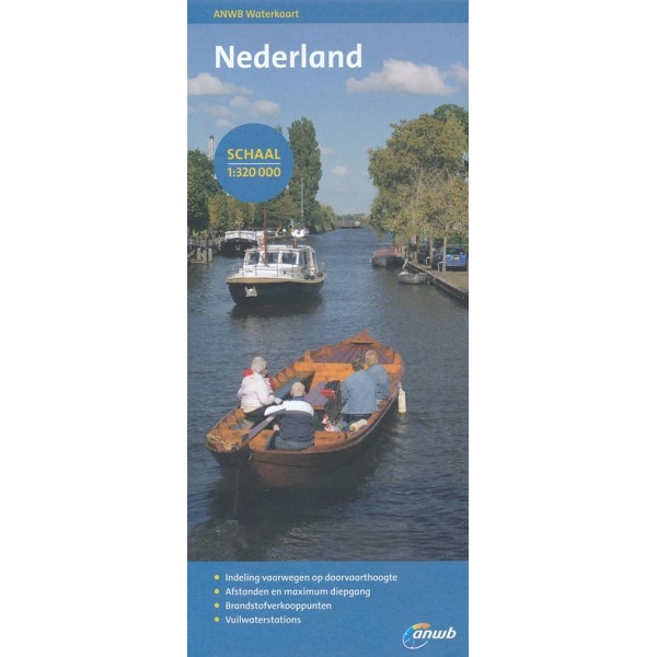
This map is the waterway network of the Netherlands. The main waterways are classified into several categories based on the maximum height by sailing on the route. Scale 1 :320,000


MON PANIER

Aucun produit

Expédition 0,00 €
Total 0,00 €

Panier Commander

Suivez nous sur Facebook et Instagram

Rechercher